
LIXNAW 2025
A Development Plan for the village of Lixnaw, its environs and associated public amenities (2020 - 2025)

Introduction
Lixnaw Development Association was formed in 2015 by residents of Lixnaw and its surrounding townlands. The aim of the group is to facilitate the maintenance and development of Lixnaw in a structured manner, to benefit it’s residents and visitors in the years to come, and to promote it as a location for new industry and a place to visit for tourists. Lixnaw Development Association works with local voluntary groups and where possible seeks to integrate newcomers to Lixnaw into the social fabric of the area by encouraging involvement in community activities. Lixnaw Development Association also works with regional development organisations and Kerry County Council to further its aims. Financing for local maintenance and development projects is acquired by Lixnaw Development Association through continual fundraising activities, grant applications to the Local Authority and regional development organisations as well as councillor allocations, private sponsorship and donations. The aim of this Development plan is to set down a basic outline of the future plans of Lixnaw Development Association, for the maintenance and development of Lixnaw village and its surrounding townlands.
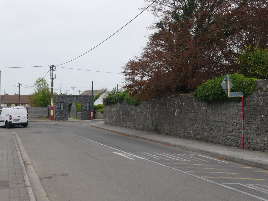
Lixnaw Development Association will continue to work in tandem with Kerry County Council to achieve the aspirations of the Local Authority as set out in its current County Development Plan for 2015-2021 and specifically those aims as indicated in its Tralee/Killarney Hub Plan for Lixnaw (see below). The area covered by the Development Plan is ‘the village’, i.e. the properties served by public footpaths. This area extends out the Tralee Road to ‘The Green’ housing estate to the South; Daughtons and Crowleys properties on the Listowel Road to the East; Keanes, Baile an Gharraí and the Playground to the West, and the Presbytery to the North. The village environs is a theoretical area but for the purposes of the plan extends to St. Michael’s Well to the South; ‘The Black Cross’ to the East; Hermitage Park to the West, and Old Ballynagare Bridge in Clogher to the North. Satellite areas also covered include Ballinagar Bog, the River Brick (from Liscullane to The Cashen) River Feale (from the Railway Bridge in Ballyhorgan to The Cashen), the Railway/Greenway line (from Ballyhorgan to Keel) and the Graveyards, i.e. Clogher, Desert, Kilfeighney and Kiltomey. This is not an exhaustive list, and may be amended in the coming years.
Note: Kerry County Council are currently reviewing its Draft Listowel Municipal District Local Area Plan 2019-2025 which will supersede the above Tralee/Killarney Hub Plan for Lixnaw, and a copy of this Local Area Plan has been included in an Appendix to this Draft Development Plan.

Kerry County Councils Development Plan 2015-’21 - Tralee/Killarney Hub Map for Lixnaw
Lixnaw 2025
Infrastructure & Public Realm
Lixnaw Development Association will aim to complete (or have completed) the following works within the lifetime of this plan. For location of projects see Map 1 below.
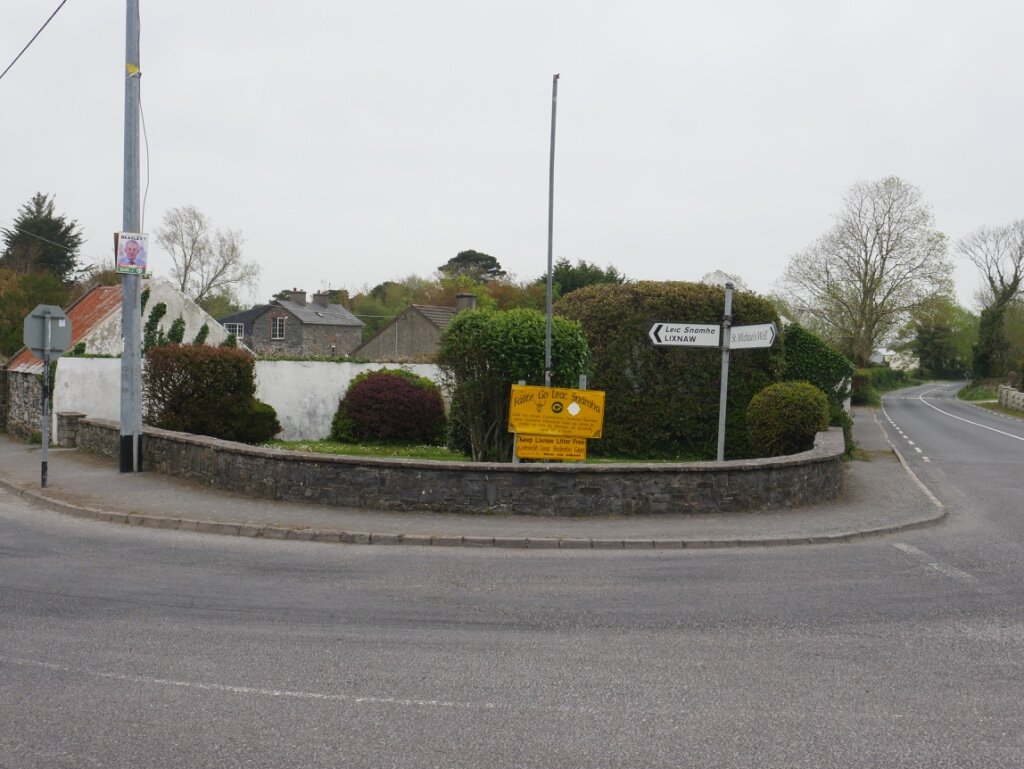
Formalise four entrance ‘gateways’ to the village at margins of public approach roads by planting trees, installing planting boxes, standing stones, etc. and new Village Name Signs at the four entrance ‘gateways’ to village (see photo at top).
Clean margin and replant with wildflower on Clogher Road (McCarthys to Conways).
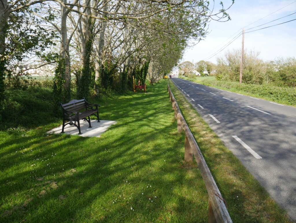
Replace railing, clean margin and plant flowerbed at Picnic Area margin (Photo 1).
Erect Information Board at Páirc Sheoirse picnic area outside Integrated Constructed Wetlands facility.
Promote the extension of the public path from village to Hermitage Park.
Erect Information / Notice Board at Hermitage Park.
Paint signposts, vent pipe and ESB Pole at Trants/Lynchs Junction and Johns Meadow (project completed).
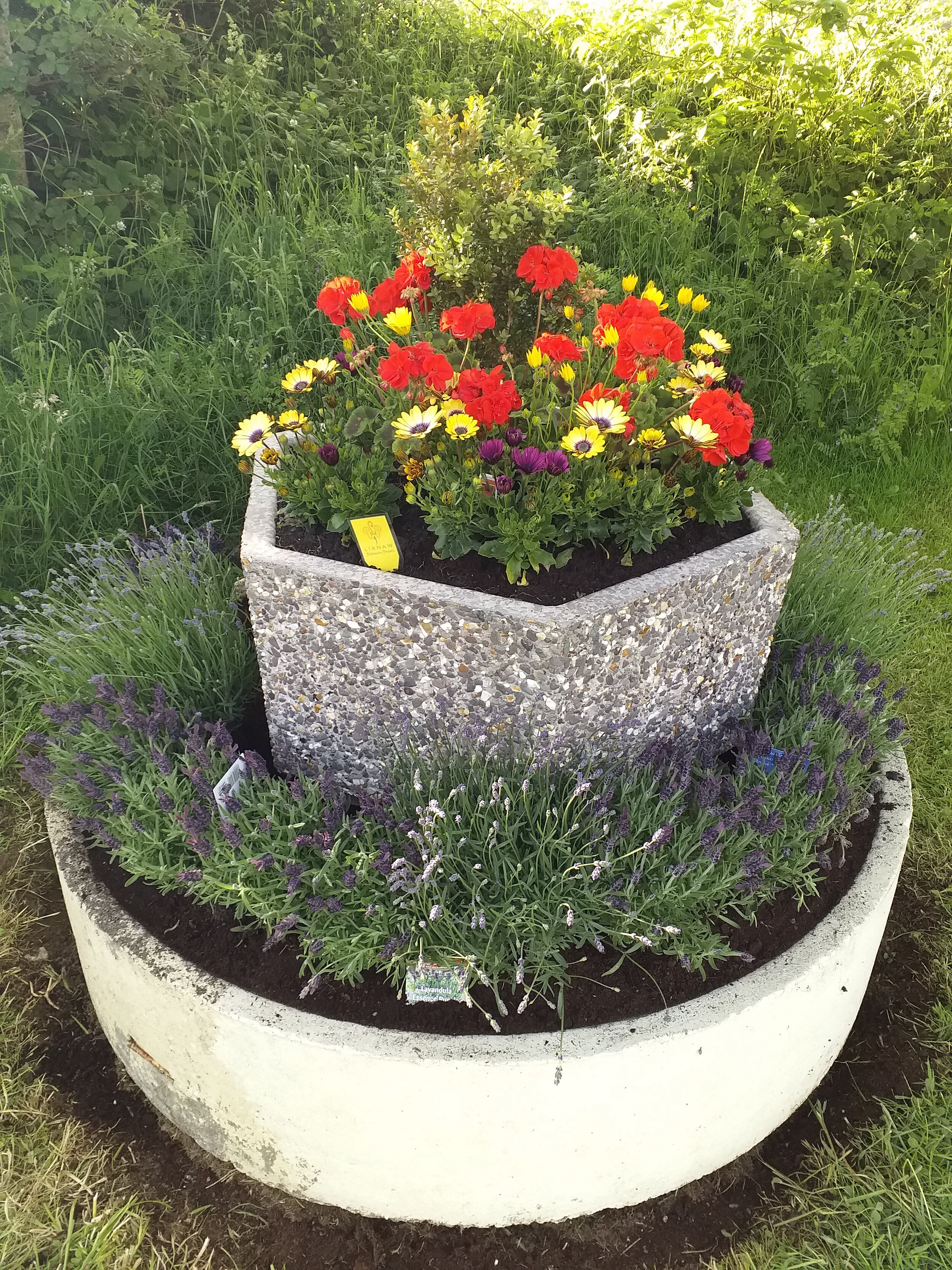
Maintain and develop five existing planters in the village (Photo 2).
Plant new trees at Community Centre, Clogher Drive, Slí na Faiche, Listowel and Tralee Roads.
Erect hanging baskets along main street and ‘new road’ of village.
Promote construction/painting of screen walls and/or installation of screen hedging outside derelict house/sites in the village (Photo 3).
Improve sightlines at Daughtons ‘Y’ Junction (Photo 4) and install speed lights at Listowel Road.
Pave public path at Daughtons, opposite Foleys Shop, on Listowel Road (Photo 5).
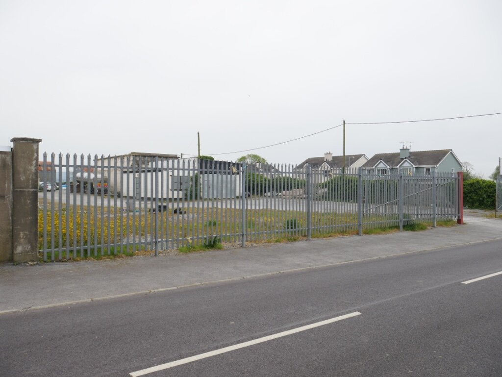
Promote completion of paving and installation of screen hedging at derelict site on Tralee Road (Photo 6).
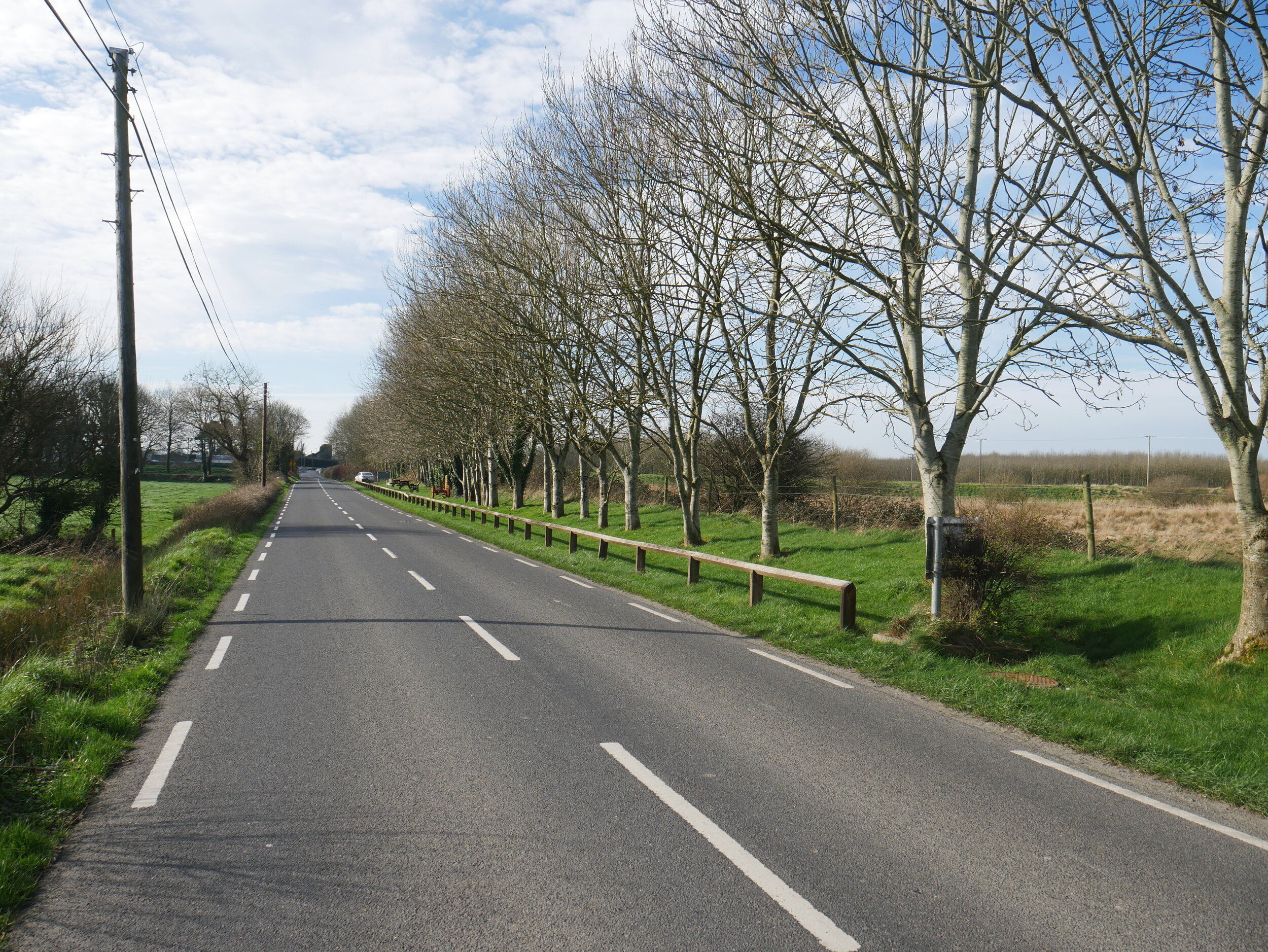
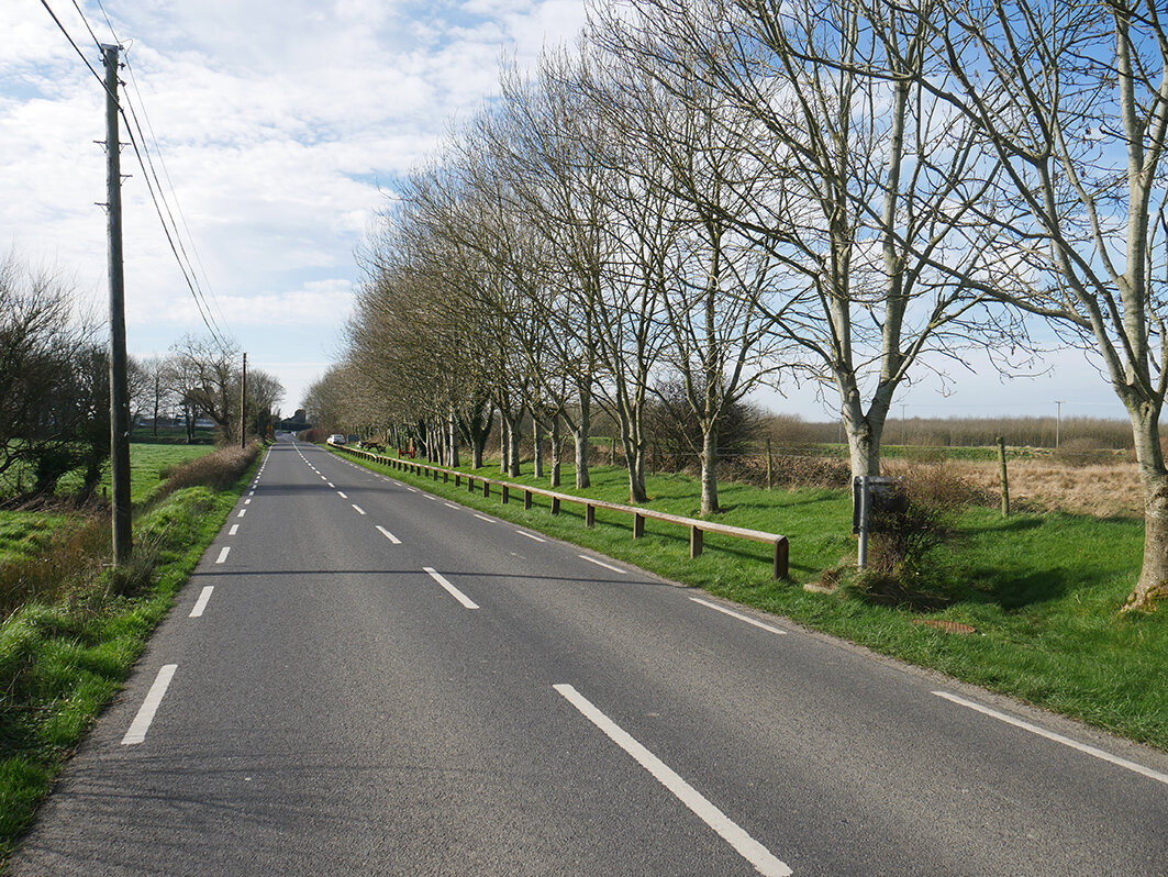
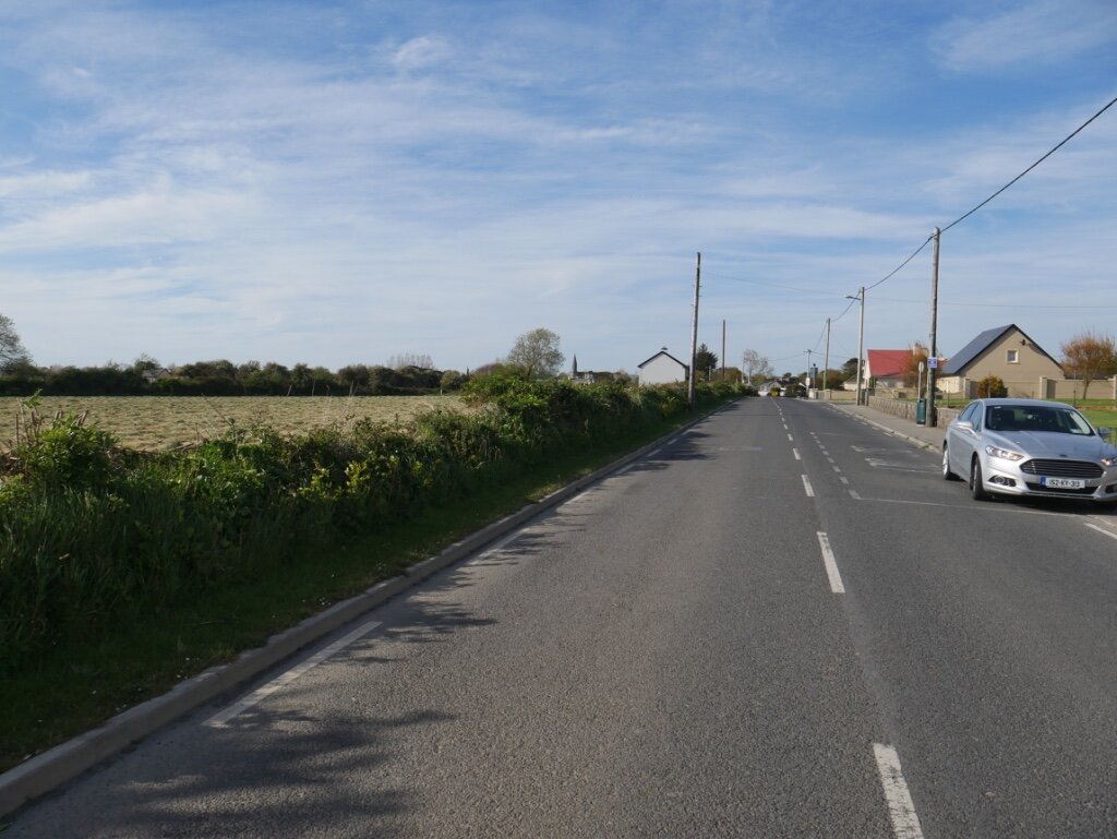
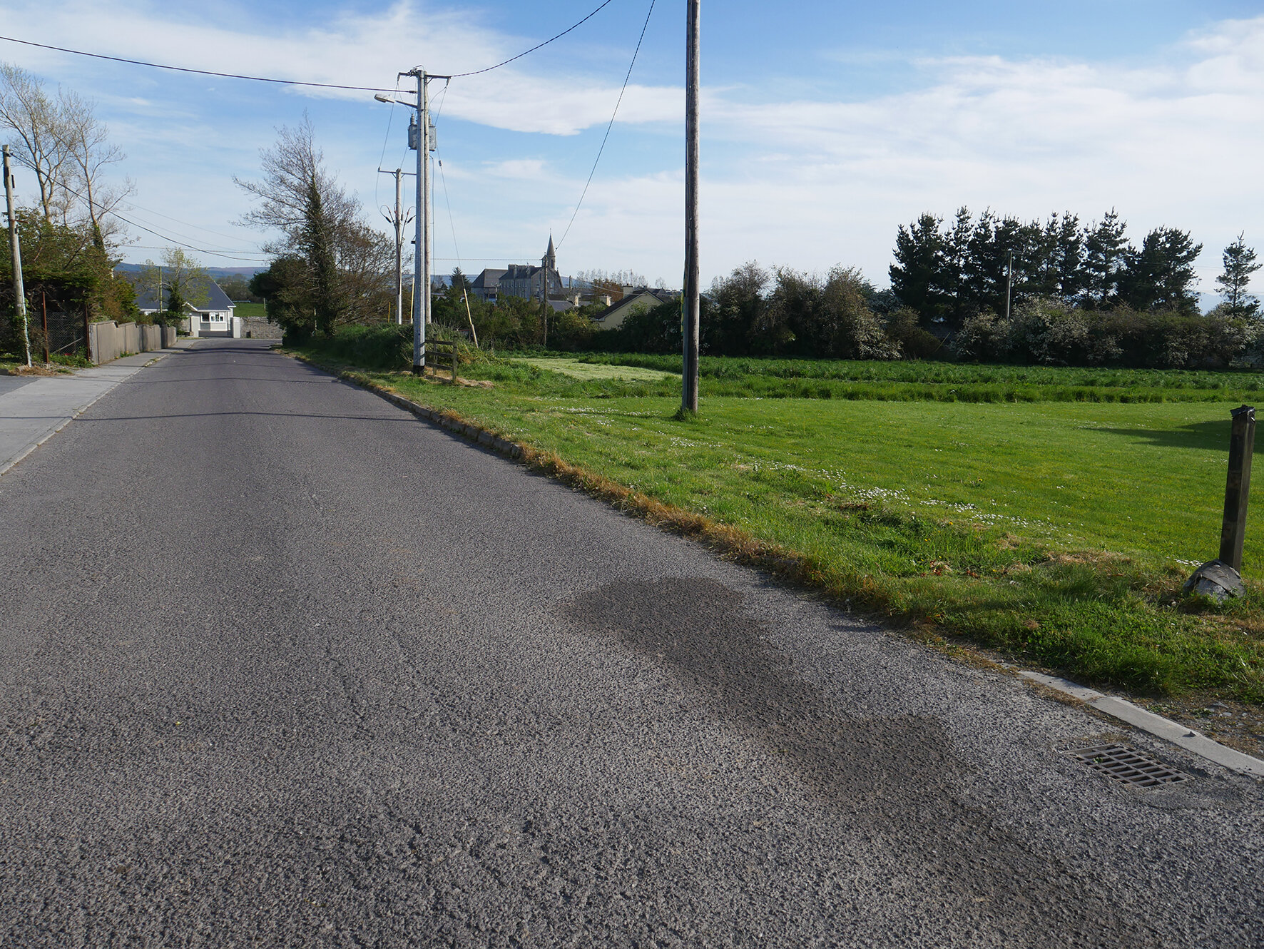
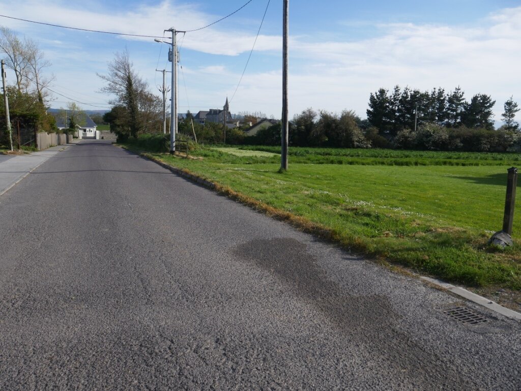
Maintain margin along Tralee approach road (Photo 7).
Promote the extension of the public path from village to St. Michaels Well.
Liaise with Council regarding cleaning and/or replacing of existing road signage as necessary.
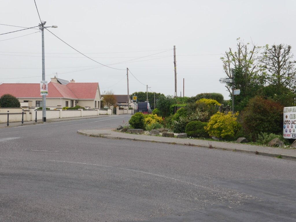
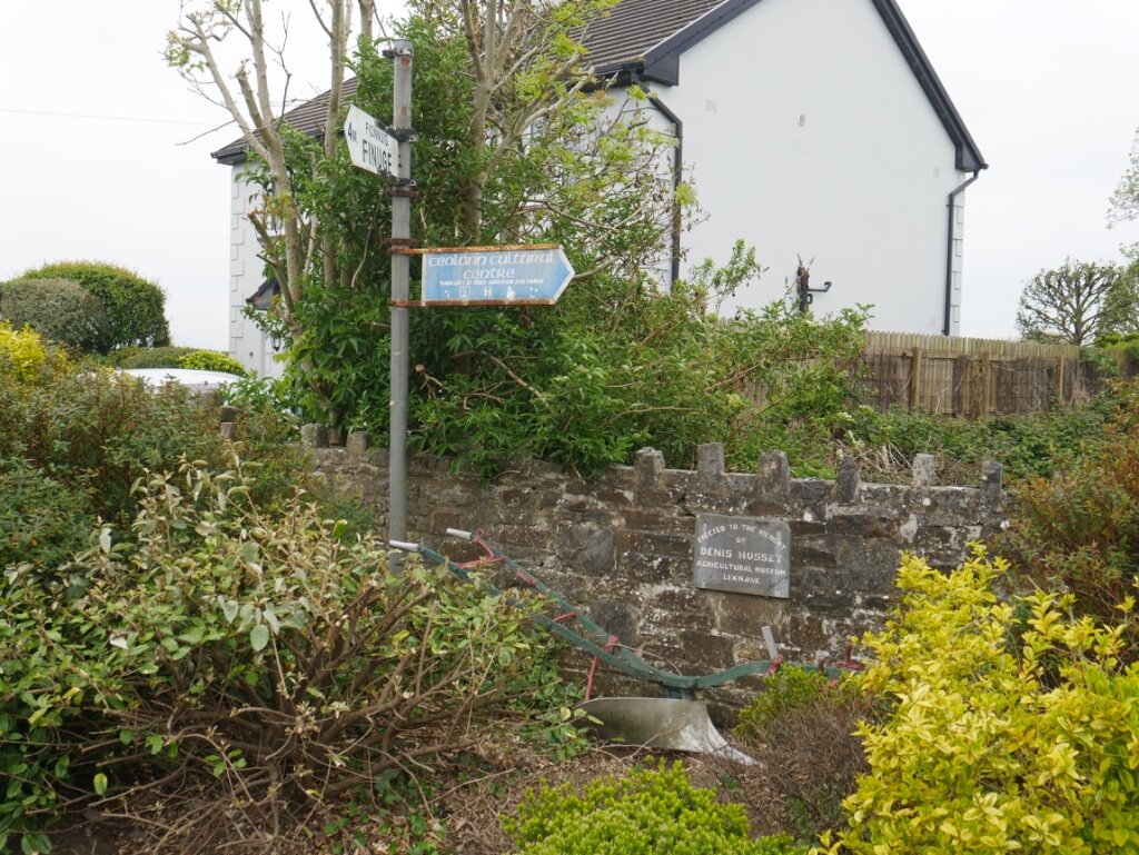
Relocate signage for Ceolann and erect new sign to Hermitage Park at Daughtons ‘Y’ and Trants ‘T’ Junctions. (Photo 8).
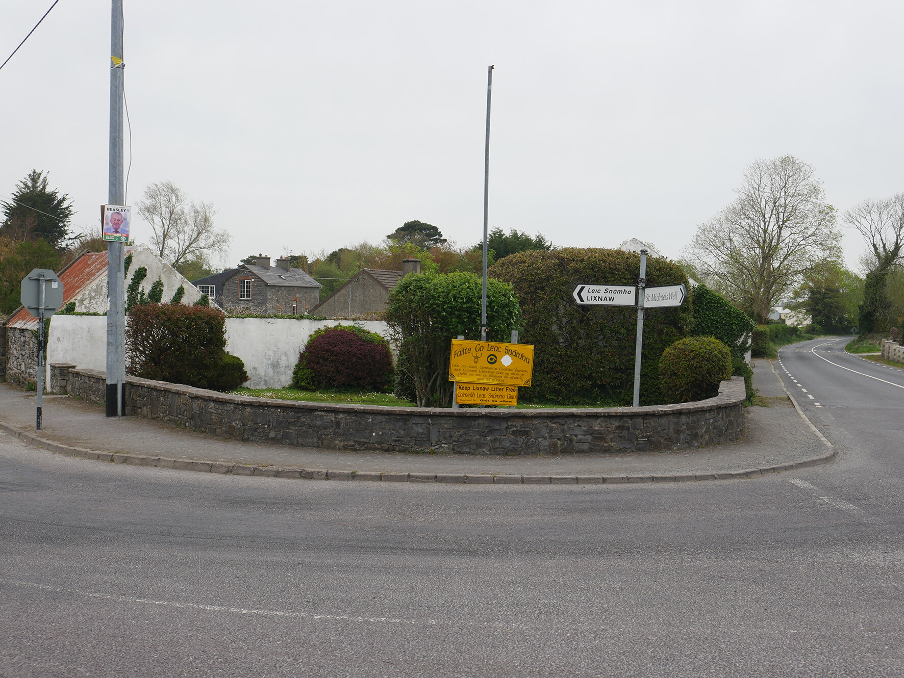
Maintain/develop green area in Daughtons Triangle and at Picnic Area (Photos 9 & 10).

Map 1 - Infrastructure, Public Realm & Public Amenity Projects
Public Amenities
Lixnaw Development Association aims to develop, or facilitate the development by others, of the following projects, by 2025. For location of projects see Map 1.
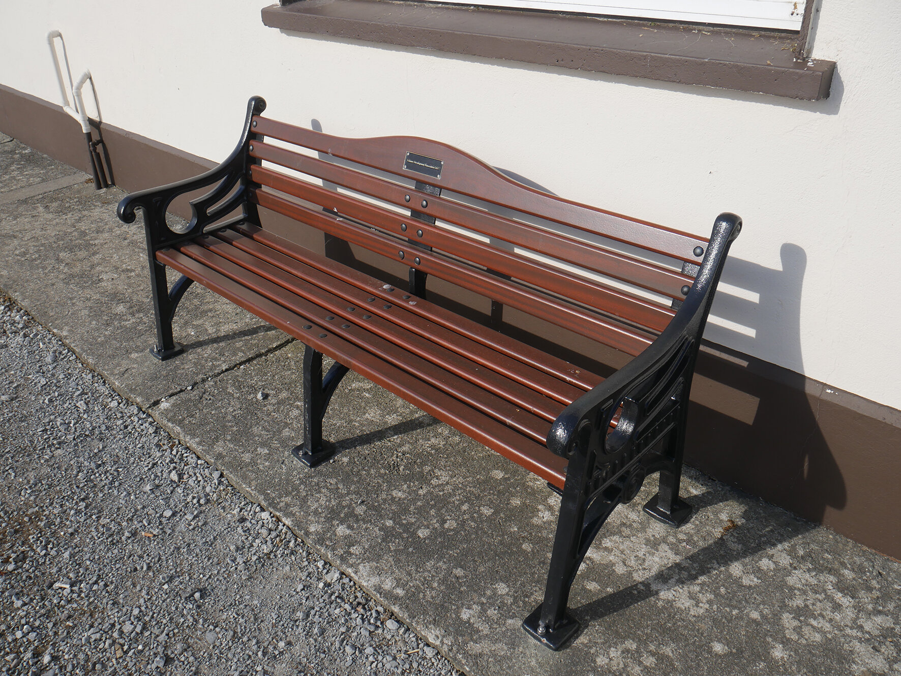
Installation of Public Bench Seats at Hermitage Park, Daughtons Triangle, Integrated Constructed Wetlands facility and the three graveyards (Photo 11).
Erection of a viewing platform at the Integrated Constructed Wetlands facility at Páirc Sheoirse.
Installation of refuse ‘Brúscair’ bins at Hermitage Park, Páirc Sheoirse and Greenway entrance.
Addition of an extra bin for cans at the Bottle-bank.
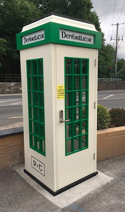
Installation of a Kiosk in the village to house the local Defibrillator (Photo 12).
Promote and facilitate development of the Greenway on the disused Railway Line.
Promote and facilitate development of the River-walk along the Brick and Feale rivers.
Promote and facilitate development of the Bog-walk around Ballinagar bog.
Facilitate and support ongoing development of the Pollinator Project.
Facilitate and support development of a ‘Pollinator Park’.
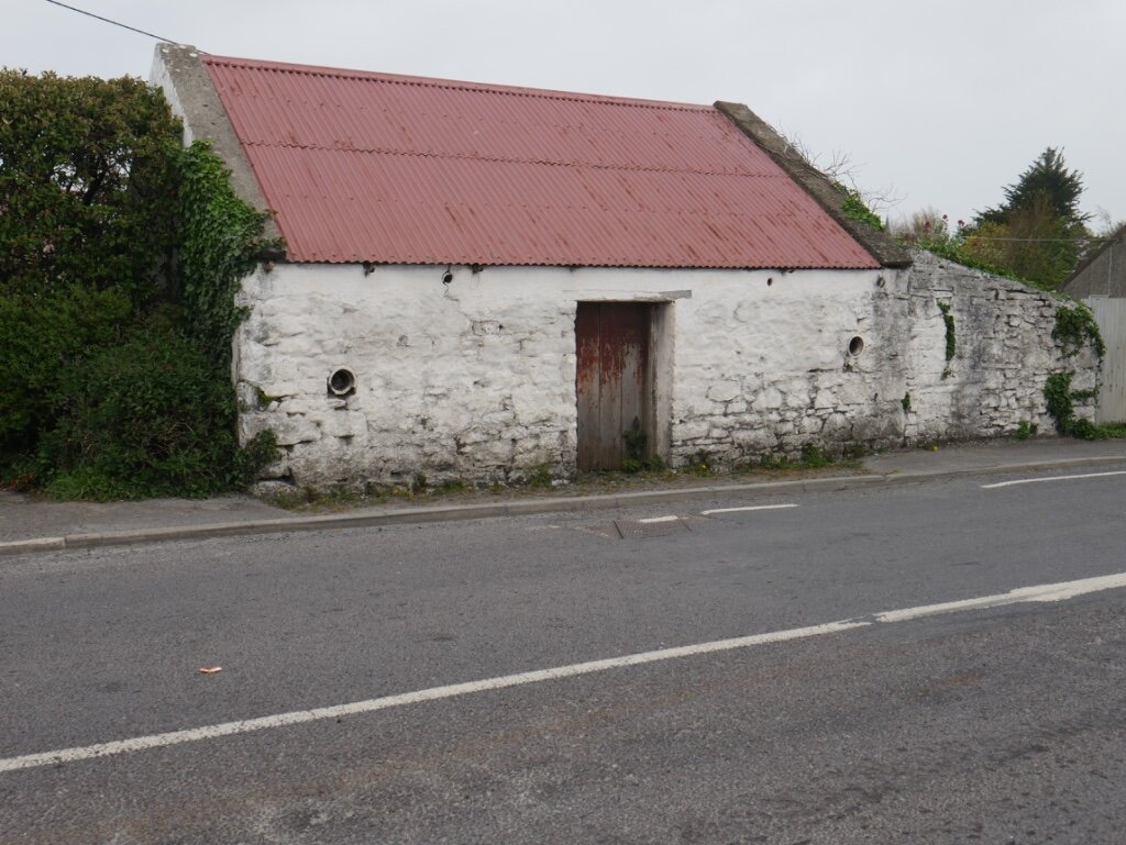
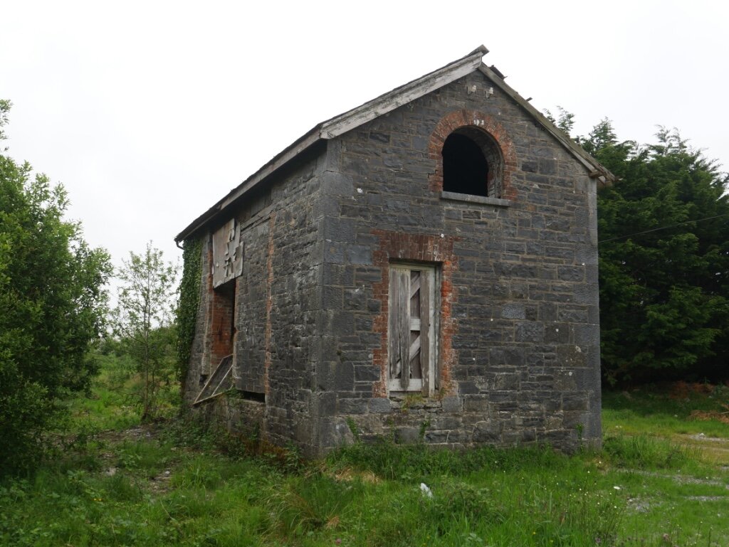
Promote and facilitate renovation of the old Railway Storage Building (Photo 13).
Photos 1 - 8
Click on large photo to scroll through images.


Public Services
Lixnaw Development Association supports the development of the Integrated Constructed Wetlands Facility and associated public infrastructure at Páirc Sheoirse. Existing sewer vent pipes at Trants/Lynchs Junction and Johns Meadow have been repainted to reduce their visibility (Photo 14).

Páirc Sheoirse Integrated Constructed Wetlands
Lixnaw Development Association will facilitate wider Internet access and improved speeds for local homes and businesses following completion of the National Broadband Plan. Lixnaw Development Association supports improved water supply with continued maintenance and upgrading of the mains water supply network by Irish Water. Lixnaw Development Association also supports improved Mobile Phone coverage with continued maintenance and upgrading of the mobile phone network by service providers.
A long-term goal will be achieved when electrical services carried on overhead lines are rerouted underground through existing ducting installed under the public footpaths which currently serves much of the village. An extension to this underground network and subsequent removing of existing ESB poles will be supported as these over-ground services are unsightly. Lixnaw Development Association favour the replacement of existing street light poles with steel poles of traditional design and housing more efficient LED light fittings.
Photos 9 - 16
Click on large photo to scroll through images.


Environment
Lixnaw Development Association will continue to support, co-ordinate and promote the County Clean-Up Day Litter-Pick. Lixnaw Pollinator Project will be promoted and expanded. A permanent site for the Community Garden and Recycling Scheme will be developed, and a Pollinator Park will be developed if the location can be obtained. Hedgerows have been planted along the Tralee Road and at Hermitage Park by the Hurling Club. More Pollinator friendly hedgerows will be planted at the Picnic Area, bounding the ICW facility at Páirc Sheoirse, at an infill section on the Listowel road, and along the Clogher road margin (Photo 15).

Páirc Sheoirse Integrated Constructed Wetlands
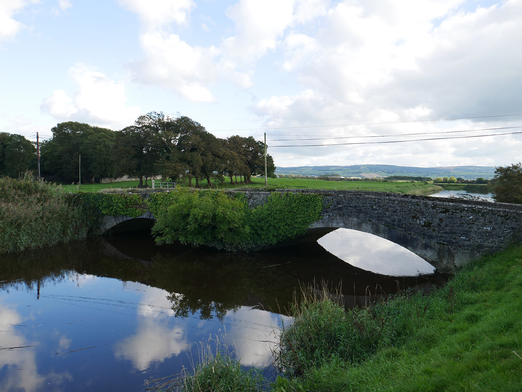
Lixnaw Development Association will support the development of a Bog-Walk at Ballinagare and continue efforts to keep this area litter free until this project becomes a reality. Lixnaw Development Association will also continue to support the development of a Greenway along the disused railway line and maintain efforts to keep this area litter free over the coming years. With the development of the above projects Lixnaw Development Association will aim to connect both with a River-walk from the Greenway Bridge in Ballinageragh to the Bridge next to the Old Court (Photo 16), on to Ballinagar Bridge and finally the Feale Bridge at Ballyhorgan. Lixnaw Development Association will support all efforts to clean the rivers and canals surrounding Lixnaw.

Mosaic showing artists impression of Lixnaw House (constructed c1690)
Heritage
Lixnaw Development Association will continue to support research into the history and culture of Lixnaw, and the dissemination of such information through various forms of media.
Visitor Information Boards will be erected at the Picnic Area and at Hermitage Park which will detail the impact of ‘The Lords of Kerry’ on this vicinity.
The Irish language will be used on all posters, flyers and signage where possible.
Lixnaw Development Association will continue to help organise the St. Patricks Day Parade and other such events.

Visitor Information Map
Communication
Lixnaw Development Association will promote its activities through a new Facebook Page and this Website as well as through print media.
Lixnaw Development Association will forge stronger links with the existing local voluntary organisations, e.g. Lixnaw Pollinator Project, Lixnaw Hurling Club, Lixnaw Vintage Club, Lixnaw Youth Club, First Responders Group, Active Retired, Community Centre Committee etc. and will seek to aid any projects that these groups may have which would benefit Lixnaw and its environs.
A local organisations Contact List will be delivered to every house in the village so that all residents will find it easier to get involved in community groups.

Public Consultation Process - April 2020
All feedback on the above Development Plan is welcome and should be emailed via the ‘Contact’ page of this website, or sent in writing by post to the Chairman or Secretary (addresses on the ‘Contact’ page).
Please note that Lixnaw Development Association does not claim any right over lands, roads, paths or other properties, for the purposes of development. This Development Plan is aspirational in nature, and Lixnaw Development Association accepts that it will require the support of all land owners, local and otherwise, Kerry County Council, the ESB, Irish Water and other stakeholders, to see it achieve its goals.
Appendix
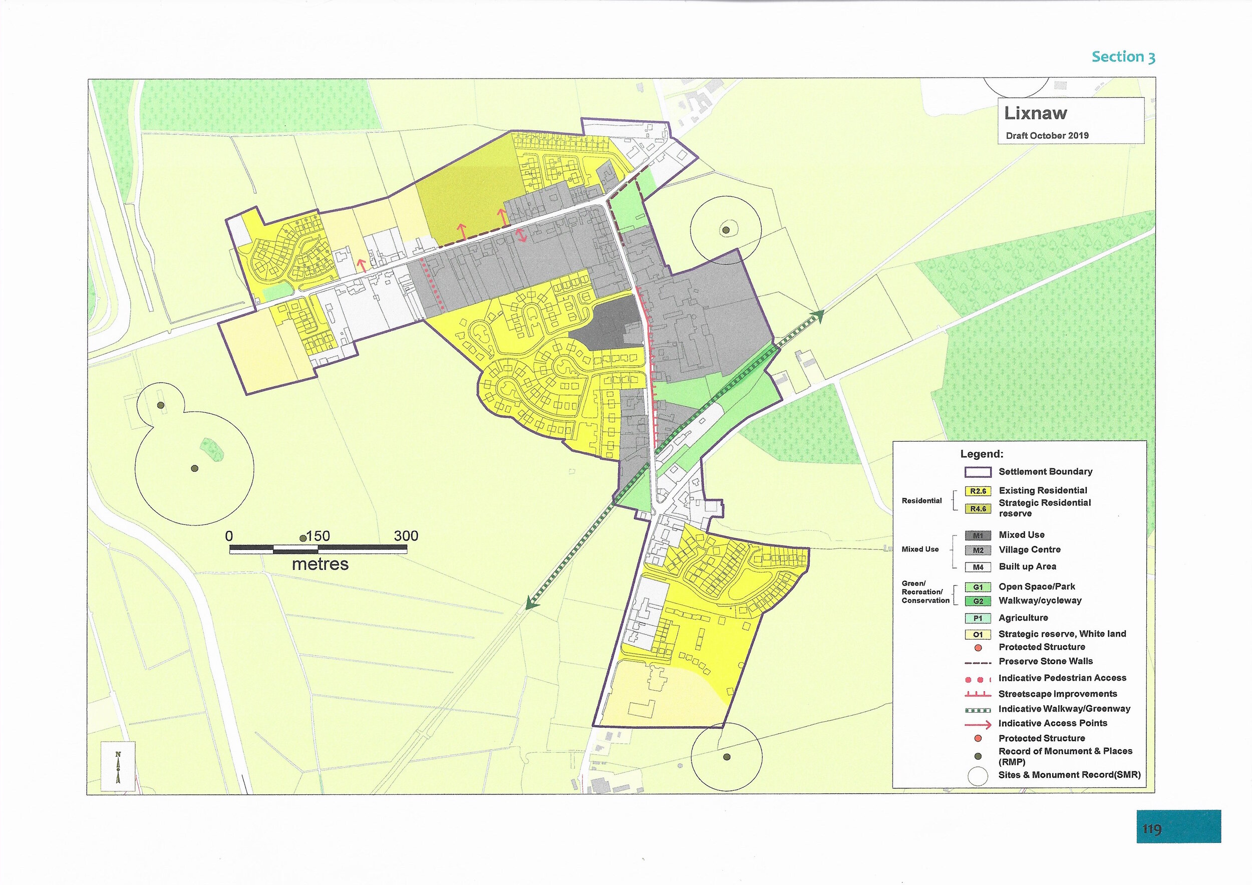
Extract from Draft Listowel Municipal District Local Area Plan 2019-2025 (October 2019) - 3.12 Lixnaw
Vision
The vision for Lixnaw is the retention and improvement of local services and facilities to serve the village and surrounding rural areas, to encourage consolidation of the village settlement and to ensure that it full-fills its role as the primary focus for the development of the surrounding rural areas.
Context (Location/Function and Existing Services)
Lixnaw is a north Kerry village located on the Regional Road R557, c.16km to the north of Tralee, 10km southwest of Listowel and to the west of the N69 national secondary road linking these settlements. As well as servicing its rural hinterland, Lixnaw functions largely as a dormitory/commuter settlement for Tralee, and Listowel. This role became more evident with the development of new housing estates in recent years. Lixnaw has typical services that would be normally associated with a settlement of its size, including national schools, a church, Post Office, neighbourhood retail and childcare facilities.
Planning Considerations and Proposal
It is important that Lixnaw increases its population and continues to provide for the services needs of its residents and those in its rural catchment area. To secure this and to position the village for sustainable growth, the objectives of this plan seek to maintain existing service levels and preserve opportunities to create a compact and attractive village form into which future development can integrate in a coherent and sustainable manner.
Population and Housing
Over the past decade Lixnaw has been one of the fastest growing settlements in the County. The population of the village increased by 61.5% from 431 in 2006 to 696 in 2016. The pace of growth has slowed recently with the population increase from 634 in 2011 to 696 in 2016, measuring 9.8%. The settlement is also located within the ED of Lixnaw which recorded a population of 1,016 in 2011 and 1,050 in 2016, an increase of 3.3%. The large number of dwellings constructed over the last decade in the village is reflected in the increase in population. The village has adequate lands (including backlands) within its boundary to accommodate additional residential development should it be required in the future. Suitably located lands have been a strategic residential reserve, R4 and village centre M2 to ensure that the longer term residential needs of the village can be met. The development of these lands is dependent on the availability of adequate waste water infrastructure. Infill development that helps to consolidate the village form, and providefor a more sustainable living model will be encouraged. A mix of dwelling types and sizes will be required in any future residential development to cater for various household sizes, differing housing needs and life stages.
Urban Form
The settlement is divided by the Regional Road, R557. Historically, the village developed to the north of the road initially, before expanding to the south. The main (northern) part of the settlement runs on a north/ south axis. The form taken is that of an inverted “L” shape, primarily north/ south and then onto the west. This layout results from the intersection of local roads. The streetscape features a mix of architectural styles and a fragmented building line, which has resulted in a lack of uniformity in the street frontage. There are some remaining examples of traditional architecture which add considerable character to the village.
Infrastructure, Water, Wastewater
Lixnaw is currently served by a wastewater treatment plant which only provides primary treatment of wastewater and is not large enough to treat all the wastewater from the village. Construction work has recently begun on an Integrated Constructed Wetland system for the village which was granted planning permission in February 2018. This system will have the capacity to treat the wastewater from a population equivalent of 1,200 people. This would cater for the existing population as well as the projected future growth of the community, while also delivering significant environmental benefits. The village is served by public water.
Road Network and Transport
The Regional Road, the R557 runs through the village, resulting in facilities including a school, housing estates and retail unit separated from the main part of the settlement. There are no pedestrian crossing facilities to assist people crossing the Regional Road to get to the main part of the village. The standard speed limit applies in this area. The location of the regional road running through the village results in a significant degree of through traffic between the two parts of the settlement. However, the main part of the village is relatively lightly trafficked, consisting primarily of local traffic. There is good footpath connectivity in the settlement and in general the footpaths are wide and in good repair. It is an objective of this plan to further improve pedestrian connectivity and to provide a car park at an appropriate location within the village.
Architectural Heritage
There is one Protected Structure within the development boundary of the settlement:
RPS-KY-21301601 – St. Michael’s Catholic Church
There are existing stone walls within the settlement that adjoin currently undeveloped lands. It is an objective of this plan that these walls be protected and retained as part of any future development of these lands.
Archaeology
There are two recorded monuments with buffer areas that are partially within the plan area. There are three recorded monuments outside of the plan area, to the west.
Employment and Economic Activity
Employment opportunities are limited in the settlement. There is a steel fabricator, Lixnaw Fabrications, located outside of the settlement, to the south. There is a centrally located large site for recovery of end of life vehicles. It is an objective of this plan that this area be redeveloped for mixed-use development incorporating an improved streetscape. This site given its size and central location, would, if redeveloped, play a significant role in the village.
Natural Environment
There are no environmental designations Special Protection Area (SPA), Special Area of Conservation (SAC) or Natural Heritage Area (NHA) within the identified development boundary of the settlement. However, the River Brick/Lixnaw Canal runs to the west of the settlement and is within the Lower River Shannon SAC. Development proposals which negatively impact on this designated habitat will not be permitted.
Amenity
The GAA grounds are located outside to the village to the west. There is a playground adjacent to the residential development of Baile an Gharraí to the west. It is an objective of this Plan to facilitate the development of walking and cycling routes through the village, including along the disused railway line and adjacent canals in a sustainable manner. The proposal to develop the Tralee – Listowel Greenway along the old railway line will be a welcomed addition to the village and surrounding area. Business opportunities associated with this recreational activity are likely to arise once this infrastructure is in place.
General Objectives
It is an objective of the Council to:
LW-GO-01 - Ensure that future development should support the existing role and function of the village as a rural service centre.
LW-GO-02 - Retain a compact and sustainable village structure. New development shall contribute towards a compact settlement structure by making effective use of backland and infill sites.
LW-GO-03 - Require non-statutory masterplans providing an overall vision/site analysis for residentially zoned landbanks, to ensure future development integrates in a coherent and sustainable manner producing consistency and visual continuity/harmony and avoiding haphazard piecemeal development on a field by field basis. Existing and potential access routes should be preserved where feasible to ensure ease of movement particularly for pedestrians and cyclists.
LW-GO-04 - Encourage the sustainable expansion in the range and number of commercial services within the village to provide local employment and improve the quality of life of the local community.
LW-GO-05 - Facilitate the provision of social, community and retail facilities necessary to support the local population and create a viable community.
LW-GO-06 - Seek the completion/redevelopment of the existing incomplete residential development.
LW-GO-07 - Investigate the viability and sustainabilityof a pedestrian crossing or traffic calming measures across the R557 to enable greater and safer pedestrian linkage between both parts of the settlement.
LW-GO-08 - Encourage the development of a car park at an appropriate location within the village.
LW-GO-09 - Seek to underground overhead wires where appropriate to improve the visual amenity of the streetscape.
Open Space/Amenity
It is an objective of the Council to:
LW-OS-01 - Facilitate the sustainable development of walking and cycling routes throughout the village, including along adjacent canals and the sustainable development of the Tralee-Listowel Greeway along the disused railway line while protecting features of biodiversity and cultural importance.
LW-OS-02 - Preserve any existing mature trees where possible and require planting of native trees and shrubs in new developments.
LW-OS-03 - Encourage the sustainable development of a central amenity space to act as a village park.
LW-OS-04 - Encourage the sustainable development of adequate sporting and recreational facilities within the village.
LW-OS-05 - Ensure that biodiversity interests of designated nature conservation sites in the area are safeguarded.
Built Environment
It is an objective of the Council to:
LW-BE-01 - Encourage environmental improvements to up-grade the village’s streetscape.
LW-BE-02 - Protect existing stone walls identified and require their retention in any development proposals on adjoining lands.
LW-BE-03 - Protect and enhance the historic landscape character of Lixnaw associated with the Old Court and associated historic Canals, avenues and built heritage in recognition of its importance as a designed Baroque landscape, of a scale unique in Kerry.
LW-BE-04 - Protect and enhance views along the canal routes and views to the Hermitage and site of the Earl of Kerry’s Monument in recognition of the landscape design and symmetry afforded by buildings, canals and tree lined avenues (the Avenue and Gortaneare Avenue) to terminal vistas afforded by the Hermitage, the Monument, Rattoo tower.
LW-BE-05 - Engage with other agencies and stakeholders on capital projects to ensure this culturally significant resource is enhanced and protected.
Draft Local Area Plan for Lixnaw - October 2019